REMOTE ORBITAL OBJECT
ROUTE DESTINATION
The dial controls a ratio, not a raw vertical distance. Height is drawn on a logarithmic scale:
So 1×→2× and 2×→4× are both one octave of ratio and therefore appear as equal vertical intervals. The music/math language reveals the map; it does not cause levitation or confer permission.
Complete each route geometry and the array will combine technical reachability, credential authority, living assent, and hard-interlock state into one current-state reveal.
This is explicitly a later-window simulation. It does not rewrite the original decision. It lets you feel the distinction between route known and route currently authorized.
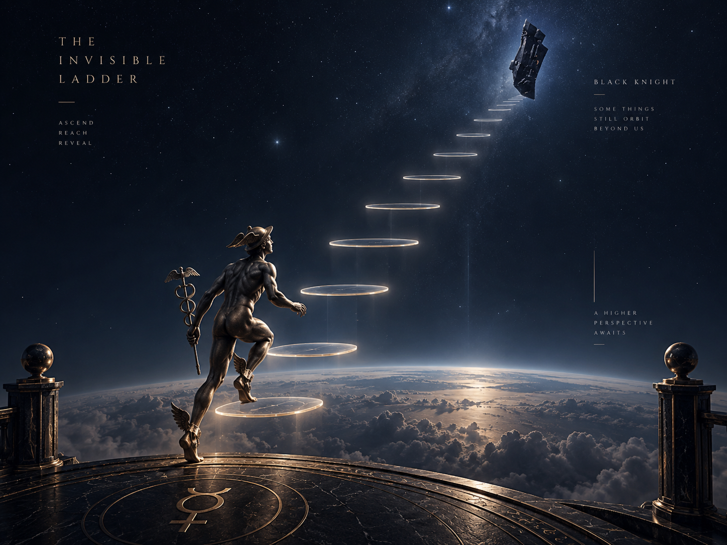
Once R2 is authorized in the simulated later state, Mercury can run the revealed footprints up or down. The first footprint—not the bridge—is the threshold.